Heavy snow and strong winds are expected to affect parts of Wiltshire as Storm Goretti moves in later this week – bringing the risk of disruption.

The Met Office says a deep area of low pressure will track across the south during Thursday (8 January) and Friday (9 January), bringing a mix of rain, snow and strong winds.
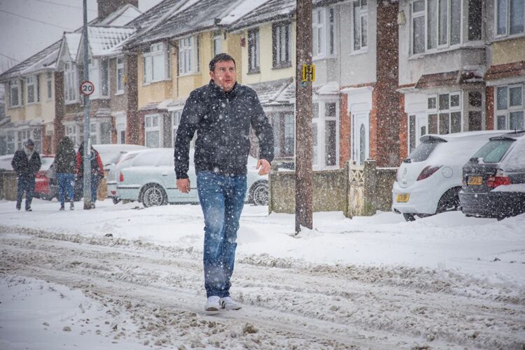
Snow is expected to develop more widely during Thursday night, with some areas seeing between five and ten centimetres settle. Higher ground could see accumulations of up to 20 centimetres.
Strong winds may lead to drifting snow, which could make roads hazardous and reduce visibility in exposed areas. Rain and snow are expected to clear eastwards during Friday.
Drivers are being warned of possible travel delays on roads, with a risk that some vehicles and passengers could become stranded. Delays or cancellations to rail and air travel are also possible.
There is a risk that some rural communities could become temporarily cut off. Power cuts may occur, and other services such as mobile phone coverage could be affected.
The Met Office is advising people to plan journeys carefully and check for delays or road closures before setting off.
Motorists are urged to allow extra time, check their vehicles, and carry essential items in case of delays.
Residents are also being encouraged to prepare for the possibility of power cuts by having torches, spare batteries and mobile phone power packs readily available.
Weather warnings may change quickly, and people are advised to keep up to date with the latest forecasts.
Storm Goretti has been named by Meteo France, with the strongest winds expected over northern France.
However, the associated snow and wintry conditions are likely to have impacts across parts of England and Wales, including Wiltshire.